SMART CITY
Geographic Information Science(GIS), Big Geospatial Data Analytics, Urban Planning, Deep Learning, Computer Vision, Python, C++, Swift
About Me
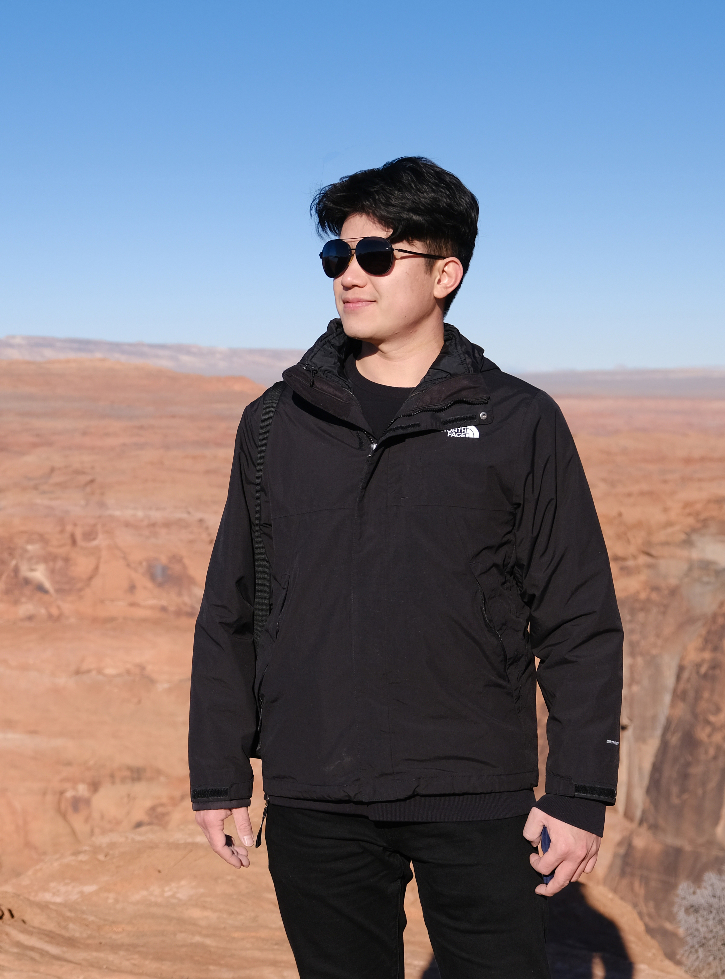
Huihai Wang
(王慧海)
School of Architecture
The University of Texas at Austin
Email: hw9998@utexas.edu
Curriculum Vitate
Google Scholar
github
I am a PhD student in the Community and Regional Planning program at the University of Texas at Austin.
Research Interest
My research interests include robotics, computer vision and deep learning in transportation and built environment evaluation. My research involves integration of computer vision algorithms and autonomous robotics in urban built environment evaluation and mapping; traffic flow and traffic behavior recognition from 2D traffic videos and 3D Lidar sensors.
Education
1. 2021-now Ph.D. in Community and Regional Planning. The University of Texas at Austin, TX, USA.
2. 2018-2021 M.A. in Geography. Binghamton University, NY, USA.
3. 2018 B.S. in GIS. Wuhan University of Technology, Wuhan, China
Professtional Experience
1. Jun.2021-now Graduate research assistant, Urban Information Lab, Schoold of Architecture, The University of Texas at Austin
2. Jun.2020-May. 2021 Graduate research assistant, Johnson City Redevelopment Lab, Department of Geography, Binghamton University.
3. Aug.2019-May. 2021 Graduate research assistant, Global Environmental Monimoring and Analytics (GEMA) Lab, Department of Geography, Binghamton University.
4. Aug.2019- Dec. 2020 Teaching Assistant
Publications
Published:
Jiao, J., & Wang, H. (2022). Traffic Behavior Recognition from Traffic Videos under Occlusion Condition: A Kalman Filter Approach. Transportation Research Record, 2676(7), 55–65. https://doi.org/10.1177/03611981221076426
Wang, H. (2021). Development and application of sidewalk anomaly detection algorithm using mobile sensors (Order No. 28541482). Available from ProQuest Dissertations & Theses Global. (2563818326).
Look to my Lead: How Does a Leash Affect Perceptions of a Quadruped Robot?
Jiao, Junfeng and Choi, Seung Jun and Wang, Huihai and Farahi, Arya, Examining the Impacts of Land Use on Air Quality in Chicago: Application of Street View Imagery and Urban Climate Sensors. Available at SSRN: https://ssrn.com/abstract=4100353 or http://dx.doi.org/10.2139/ssrn.4100353
Deng, C., Dong, X.,Wang, H. , Lin, W., Wen, H., Frazier, J., Ho, H.C. & Holmes, L. (2020). A Data-Driven Framework for Walkability Measurement with Open Data: A Case Study of Triple Cities, New York. ISPRS International Journal of Geo-Information, 9(1), 36.
Under Reivew:
News
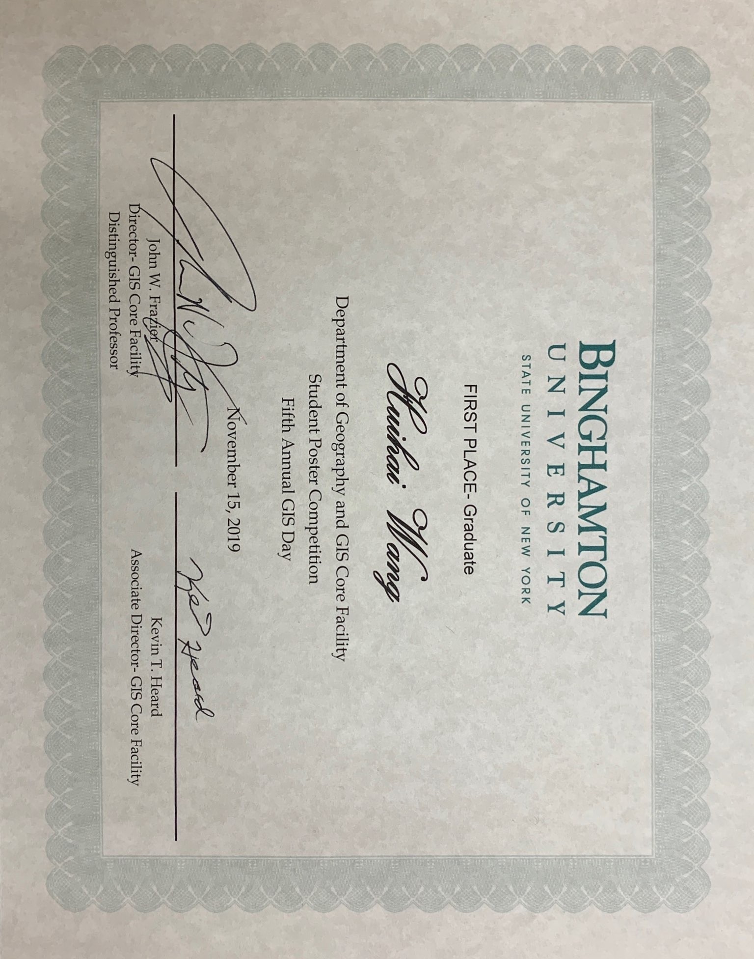
November 15, 2019 - Won the 'First Place - Graduate' and 'People's Choice Award' on GIS day.

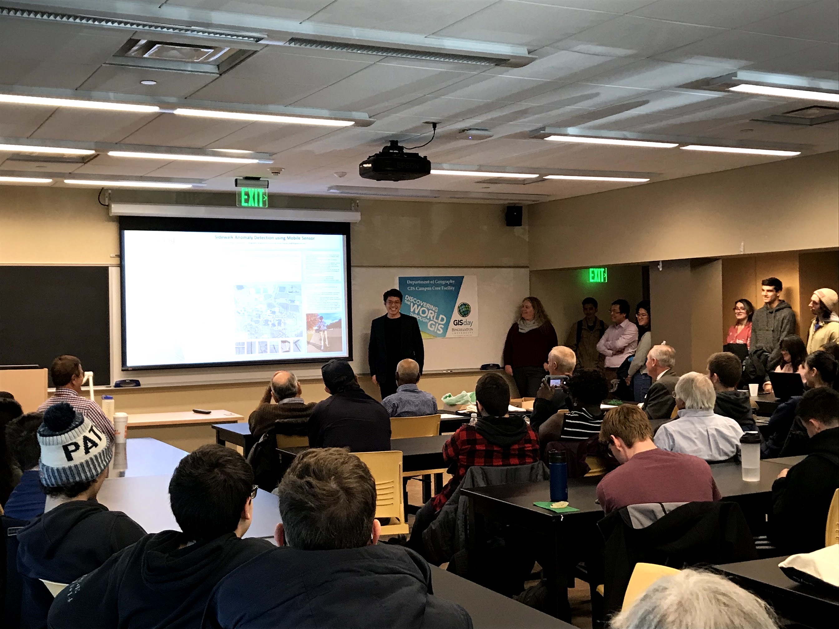
Presentation on GIS Day, November 15, 2019
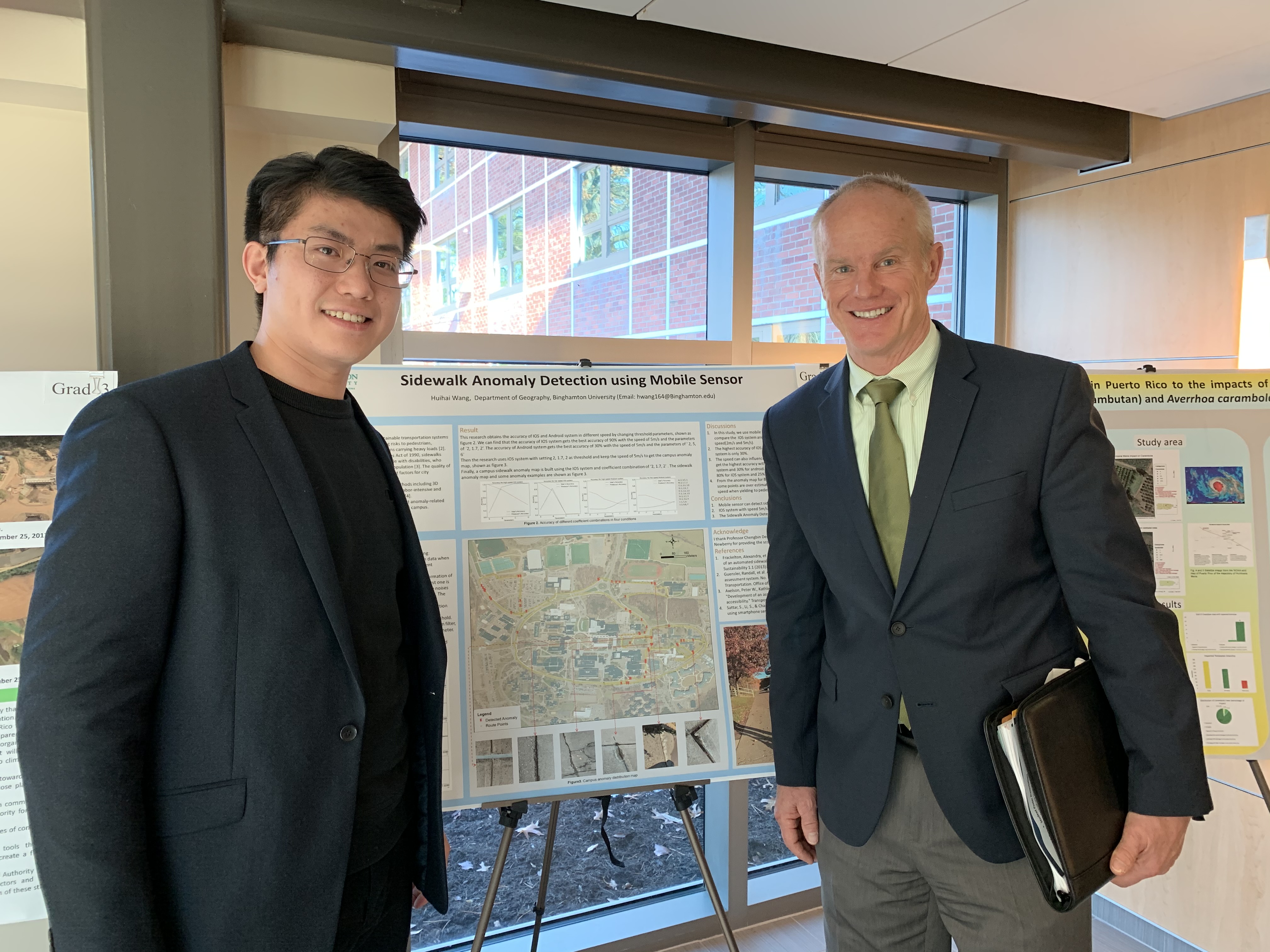
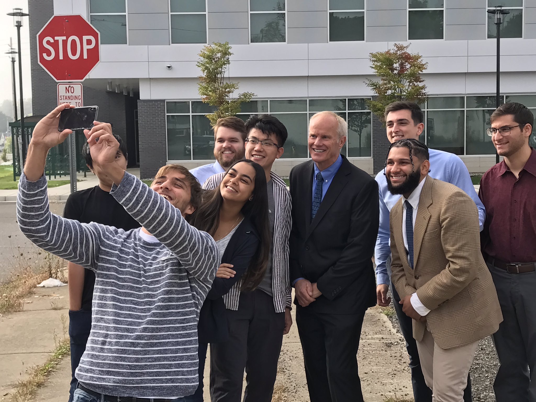
Selfie with President Stenger
September 25, 2019 - Johnson City Research Group Photo with President Stenger.
